


 Wildlife Queensland’s Townsville Branch is embarking on an exciting new venture this year following its successful application for a CSAG grant from the Queensland Government. These grants are made to community groups and individuals for “innovative projects which seek to address climate change, conserve Queensland’s natural and built environment and protect our unique wildlife.”
Our application was facilitated by NQ Dry Tropics NRM, with support and co-operation from Townsville City Council, the Department of Natural Resources and the land manager of what is largely freehold land, now stocked with cattle.
 Our project site encompasses an area of just under 300ha and includes a small city council reserve and an area of unallocated state land, each covering 40ha. The site contains the following endangered ecosystems: Melaleuca viridiflora woodlands, palustrine wetlands, strand and foredune shrublands and coastal vine thickets. It provides habitat for several endangered species including the mahogany glider (Petaurus gracilis); this locality is at the most southerly known limit of the gliders’ range.
Over the years the site has sustained significant damage from weed invasion and uncontrolled 4WD access. The presence of cattle places additional pressures on the environment with their capacity to over-graze native vegetation and erode creek banks, with a consequent flow of sediments into the Great Barrier Reef lagoon.
The aims of the project are threefold:
1) confirm the status of mahogany gliders in the project area
2) improve biodiversity through control of the weed Lantana camera
3) protect the riparian vegetation through installation of wildlife friendly fencing.
 WQ Townsville will partner with the Girringun Aboriginal Corporation and the land manager to achieve aims (2) and (3) but the work of monitoring for the mahogany glider, and other wildlife, will be entirely the responsibility of the Branch. It will involve regular trips in daylight and after dark to set and check cameras, and make other observations, with follow-up interpretation and recording of camera shots and wildlife sightings.
Installation of fencing (top strand plain wire, 3 strand barbed wire) will allow for the controlled access of cattle to the creek, in order to prevent the negative impacts mentioned above, while reducing the incidence of harm to wildlife. Fixed photo monitoring points will be established to measure the results of weed control efforts and the impacts of cattle on riparian condition.
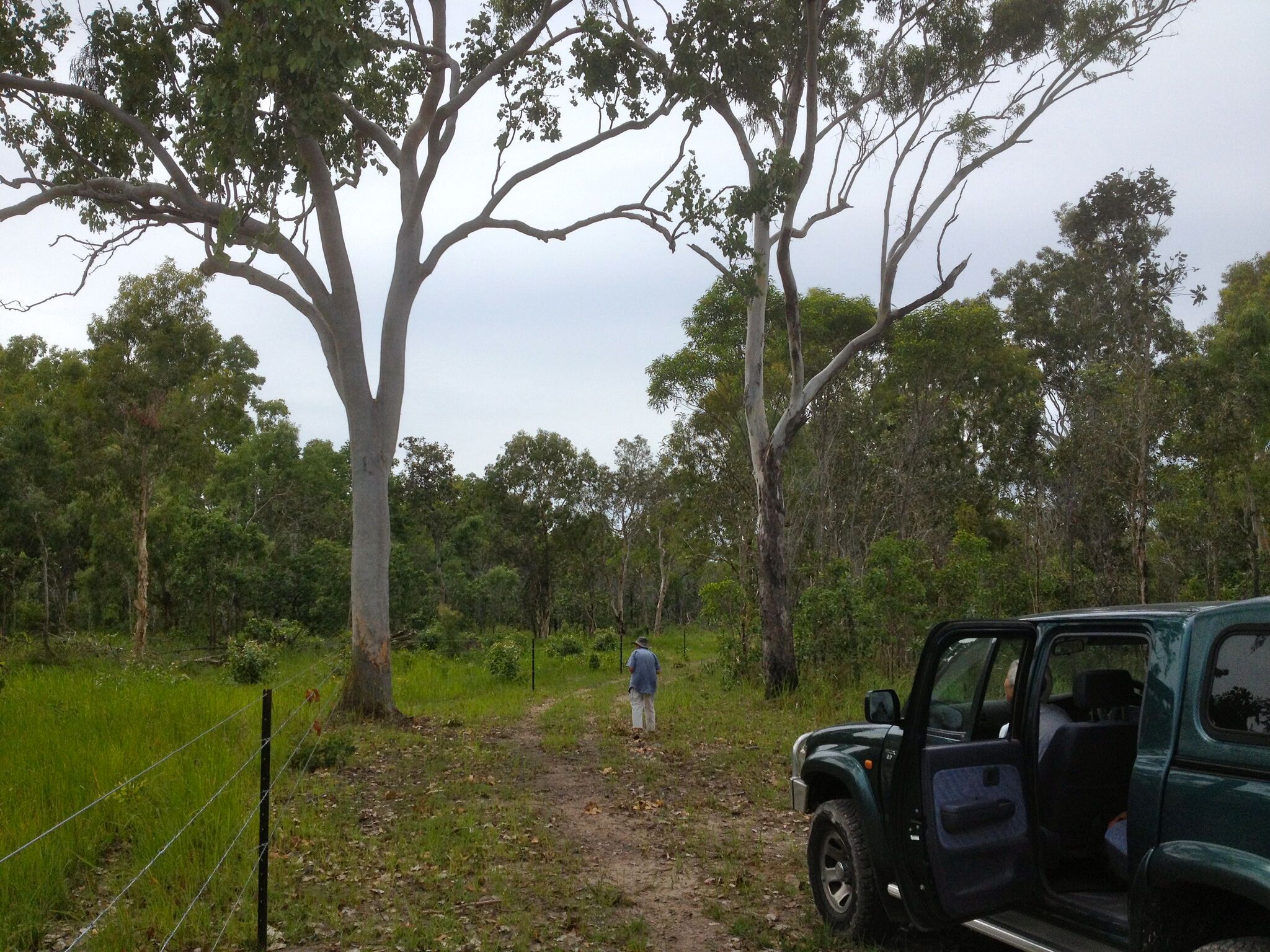
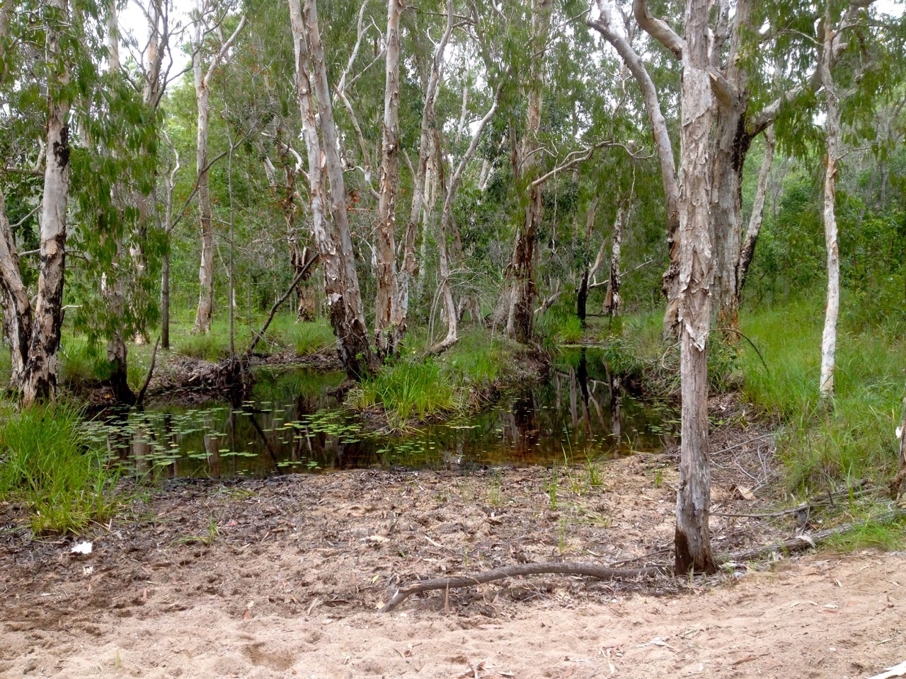
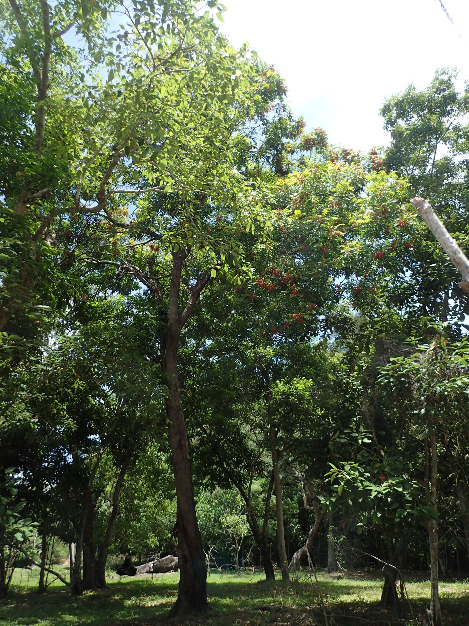
WQ Townsville has already made several preparatory trips to the site to assess the terrain, vegetation and potential monitoring points. Some glimpses of the area are included here – as usual ciick on each photo to enlarge.
 Three members of the Branch also visited Cardwell last month to talk with WQ Cassowary Coast Branch members who have extensive experience in this type of study. It is expected that we will also work co-operatively with the Mahogany Glider Recovery Team.
This will be a challenging endeavour for the Branch and its success will depend on the energies and commitment of members.
If you would like to be involved or to receive further information please contact us via our email address: townsville@wildlife.org.au
This project is supported by the Queensland Government’s Community Sustainability Action grant program.