Although we cannot hold any of our regular monthly wildlife outings, we can still get out and walk, individually or with a friend, in natural or semi-natural surroundings. Here are three suggestions for walks in different suburbs across town. As I understand it you should try to take your exercise close to home and not be driving across town simply to find a new walk – so please bear this in mind. If you have a favourite local walk in your suburb where others might exercise and enjoy being in nature, without straying too far from home – let us know!
Booroona Walking Trail, Rasmussen
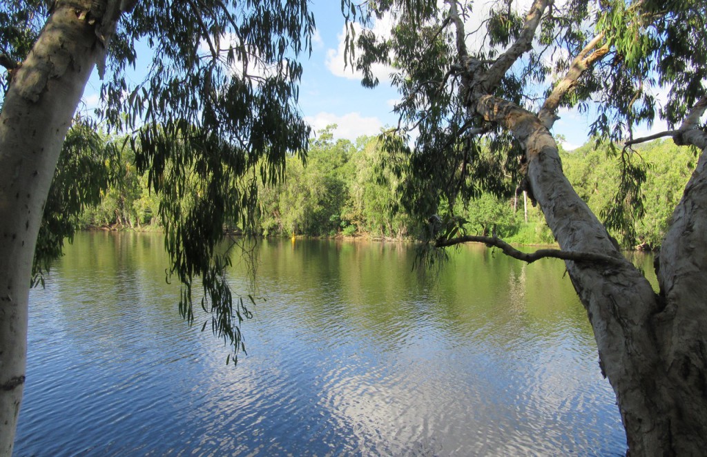
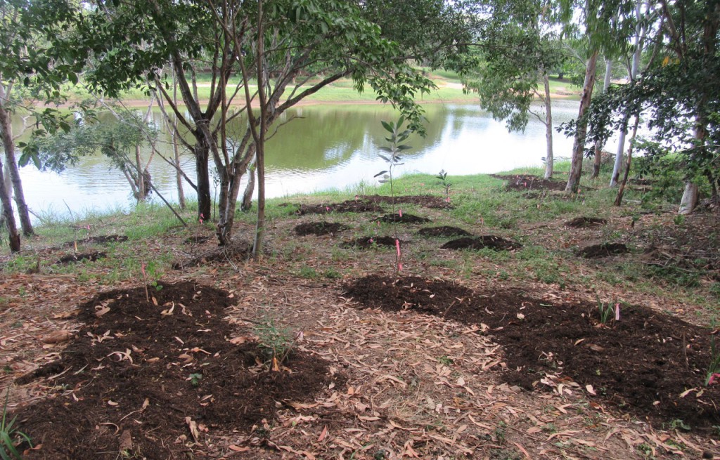
This narrow footpath runs beside the rIver between Loam Island and Apex Park. We explored part of this walk way back in 2012 and you can read more about it here. You can start at either end and walk under the shade of tall paperbarks, eucalypts, casuarinas and Leichhardt trees, crossing a small bridge and timber boardwalk, before retracing your steps. At roughly half-way the track is interrupted by a community facility including large boat shed and parking area, but you can pick it up again on the other side. Near the boatshed is an area of the riverbank which Landcare re-vegetated a number of years ago. The track skirts around this, but it is easy to stay close to the river and wander through the well-established plantings. There are tranquil river views along the length of the track and it is much less-used than the bike track that runs close to the road, so you are unlikely to meet many people to have to “keep your distance” from. A note about parking – since my visit last week the Loam Island boat ramp has been closed, which might mean you are unable to drive down the access road to the parking areas. You may be able to pull over off the road or, if you start your walk at Apex Park, there is parking available at a shopping centre across the road. Obviously if signs prohibit access to walkers as well as boaties, at either park, you must obey them!
Bush Garden to Sherriff Park, Mundingburra
This walk will be more familiar to most readers, and we included part of it in a 2013 field trip, but I always find it rewarding. Again, you can start at either end but, if starting from the Bush Garden, park at the end of Thompson Street (which runs down beside the Cathedral School) and instead of following the bike track, walk a short way across the grass towards the river, to find the way into the Bush Garden. When you reach Aplins Weir it is worth making a detour onto the footbridge to look for the striated heron that likes to fish there. Return to the bike track and continue along the Mundingburra bank to Sherriff Park. Along the way do stop to admire the fantastic work done by CDTLI (Coastal Dry Tropics Landcare) in clearing the bank of leucaena and guinea grass and re-planting it with native species. At Sherriff Park a track leads down, past more Landcare plantings, to a bend in the river and an expanse of saltwater couch beloved by wallabies. It is worth exploring this as there is always something to see. On my recent excursion a flock of masked lapwings were gathered on the mud, an intermediate and little egret were fishing, two pelicans sailed into view and an osprey perched on a mangrove, close enough for identification without binoculars, which I had forgotten, and a (blurry) photo. This walk will be busier than the other two described here, but the bike track along the Mundingburra bank passes through a wide area of parkland between housing and river so it’s easy to step off onto the grass if you need more personal space.
Environmental Park, South Townsville
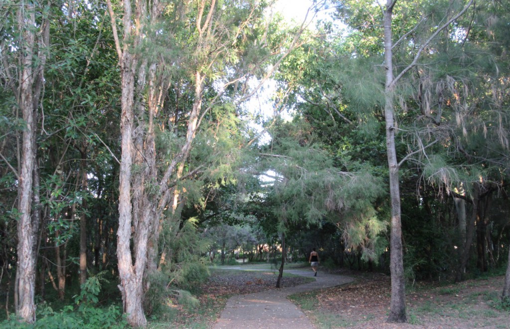
Established as a buffer zone between the Port and nearby South Townsville housing, I have wandered through this Park a number of times after first discovering it several years ago. Access is from the far end of Boundary Street or from Hubert Street – if the latter, take the second last left turn from Boundary Street into Hubert Street and follow right to the end. Annoyingly what looks like a perfect parking area at the Boundary Street entrance is marked “No standing” so you would need to park a bit further back, outside the last houses on that side of the road. From either access point, wide concrete walkways lead through the Park but you can diverge from these and explore more thoroughly. This part of the Park is planted with native species and is very shady. At the Hubert Street entrance there is a sign with information about the Gurambilbarra Wulgurukabba traditional owners, their culture and use of this land at the mouth of Ross River. Across Hubert Street the park continues but changes shape and character with open areas of mown grass and rows of mango trees, presumably the remnants of someone’s orchard, eventually tapering off along Cannan Street. This is not a park for vigorous exercise but makes for an interesting wander and you are unlikely to encounter more than two or three other walkers, with or without canine companions!
* Re the title of this post, I offer apologies to the late Colombian author, Gabriel Garcia Marquez (1927-2014), for the adaptation of the title of perhaps his best known novel, “Love in the time of cholera”.
NB Copyright of all images in this post resides with the photographers. Pease contact us for permission to use.


